Rio Hondo channel
1967
POPULÆR
0 0
 USA > California > Los Angeles County > Montebello
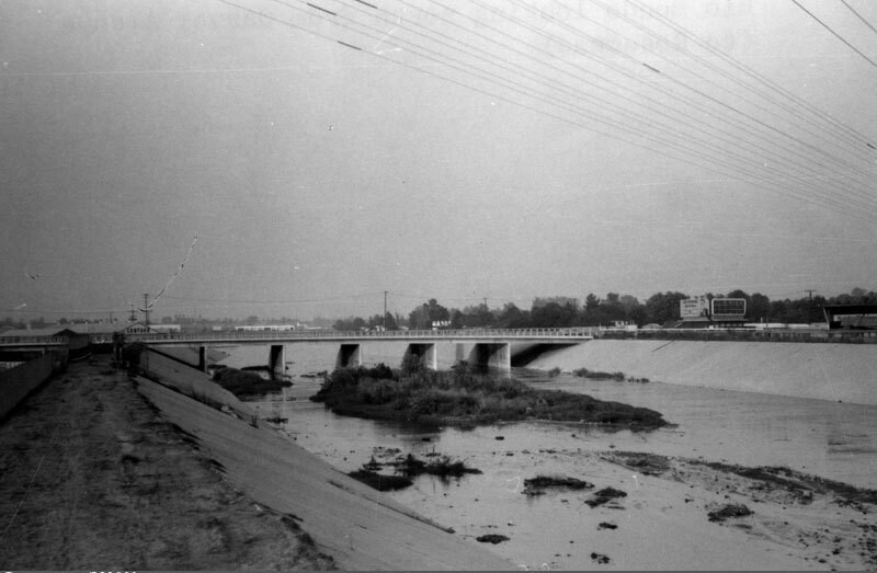
Overlooking the Rio Hondo, looking north from Garvey Avenue towards Rosemead. The Rio Hondo is a 20 mile tributary of the Los Angeles River, which passes through several cities in Los Angeles County. As seen here, most of the river flows in a concrete-lined channel to serve a flood control function, but in two places the river does not flow over conrete, the Peck Road Water Conservation Park and the Whittier Narrows Recreation Area. Photo dated: September, 1967.
Kommentarer (0)
Tilmeld dig eller login for at kommentere og bidrage til fællesskabet


Nærliggende billeder


Billedet anvendes under "Fair Use"-betingelser