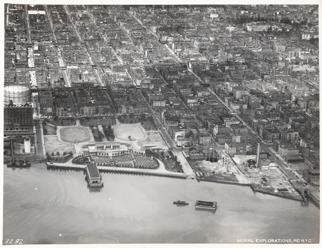
Aerial view of 111th Street to 116th Street including Jefferson Park
1934
0 0
 USA > New York > Manhattan Community Board 11
East Shoreline of Manhattan 90th Street to 125th Street [Aerial view of 109th Street to 114th Street including Jefferson Park.]
Kommentarer (0)
Tilmeld dig eller login for at kommentere og bidrage til fællesskabet


Nærliggende billeder


Billedet anvendes under "Fair Use"-betingelser