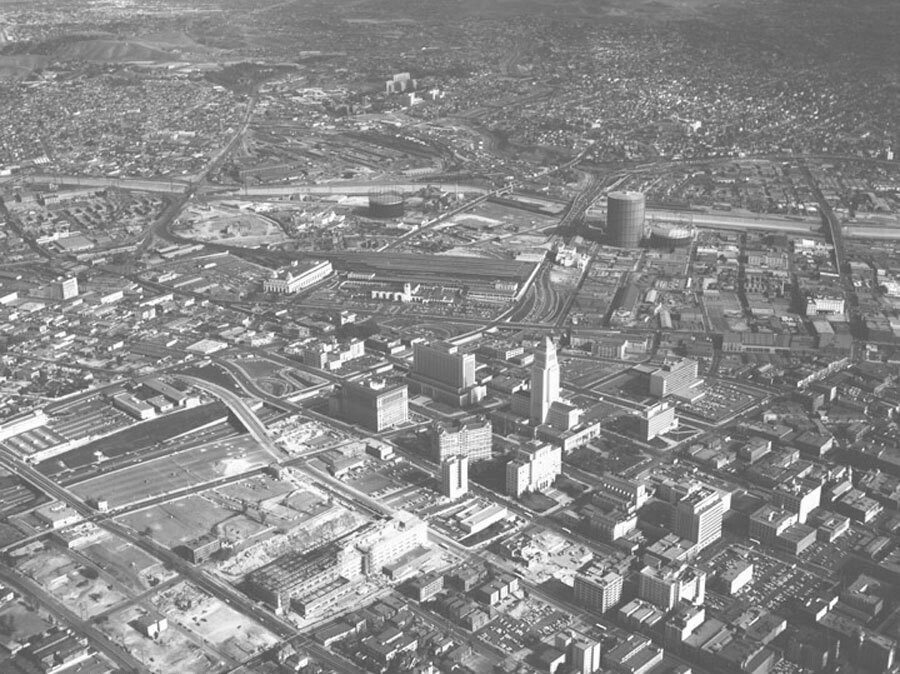
Aerial view of Civic Center, looking east
1956
POPULAR
1 0
 Vereinigte Staaten > California > Los Angeles County > Los Angeles
Aerial view of Los Angeles Civic Center, looking east toward City Hall. The Hollywood (101) Freeway runs from lower left to upper right Temple Street is on the left of City Hall 1st Street is to the right of City Hall Grand Avenue is at middle bottom to middle left Hill Street is at bottom right to middle left North Broadway parallels Hill, bottom right to middle left followed by Spring Street, Main Street, San Pedro Street, and Alameda Street (middle right to middle left) the U.S. Post Office Terminal Annex and Union Station are beyond Alameda Los Angeles River runs horizontally at upper middle and County Hospital is visible at top just left of center. Photograph dated November 14, 1956.
Kommentare (0)
Registrieren oder Anmeldung um Kommentare abzugeben und zur Community beizutragen


Fotos aus der Nähe


Bild unter "Fair Use"-Bedingungen verwendet