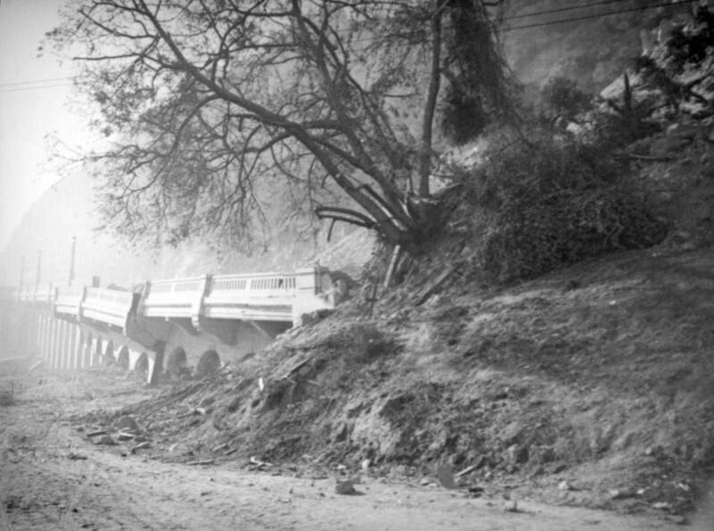
Elysian Park landslide
1937

0 0
 Vereinigte Staaten > California > Los Angeles County > Los Angeles
Dirt, mud and trees have buried the ruins of Riverside Drive leading to the Riverside Drive-Dayton Avenue Bridge. The abutments are crumbling and the roadbed is in pieces after the Elysian Park landslide. Utility lines are caught up in the chaos.The Elysian Park landslide, which started near the top of Point Grand View (Buena Vista Peak) as a small crack in the earth and grew to 500-foot fissure over three weeks, culminated on November 26, 1937 when a million and a half tons of loose rock and dirt created a "moving mountain" destroying a 600-foot stretch of Riverside Drive. Dayton Avenue (later N. Figueroa Street) has had three different bridges. The Riverside Drive-Dayton Avenue Bridge first built in 1903 was replaced with a concrete one completed in 1928.
Registrieren oder Anmeldung um Kommentare abzugeben und zur Community beizutragen
Bild unter "Fair Use"-Bedingungen verwendet


domsimon 20/11/2022 07:57
Great