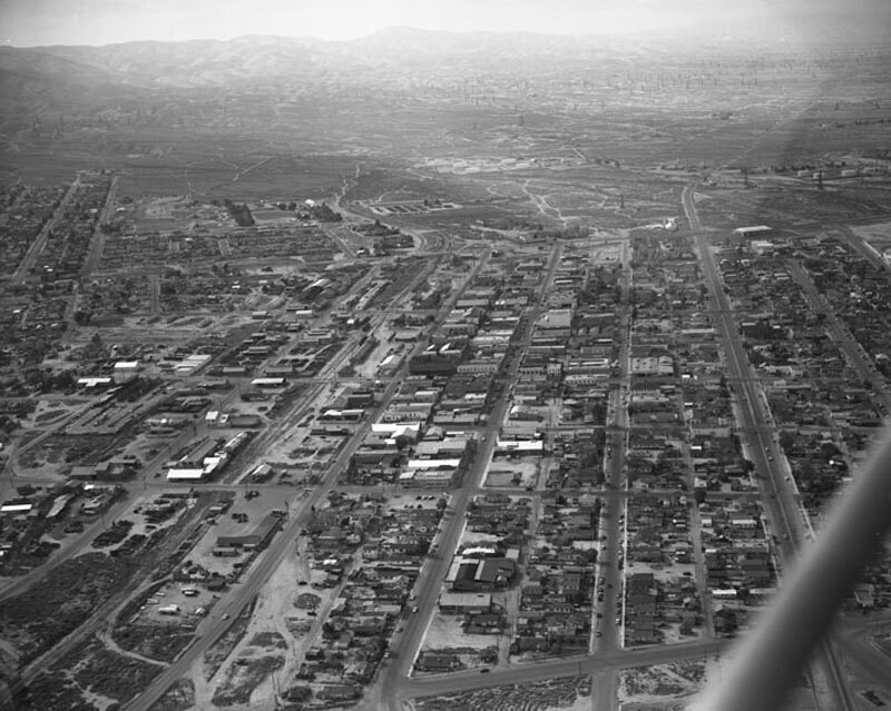
Aerial view of Taft, looking northwest
1955
0 0
 United States > California > Kern County > Taft
Aerial view of Taft, California view is looking northwest from about 1st Street. The large road visible on the right is SR 33. Photograph dated March 5, 1955.
Register or login to comment and contribute to the community


carolina_50 April 4, 2020 at 12:52 PM
I love it!