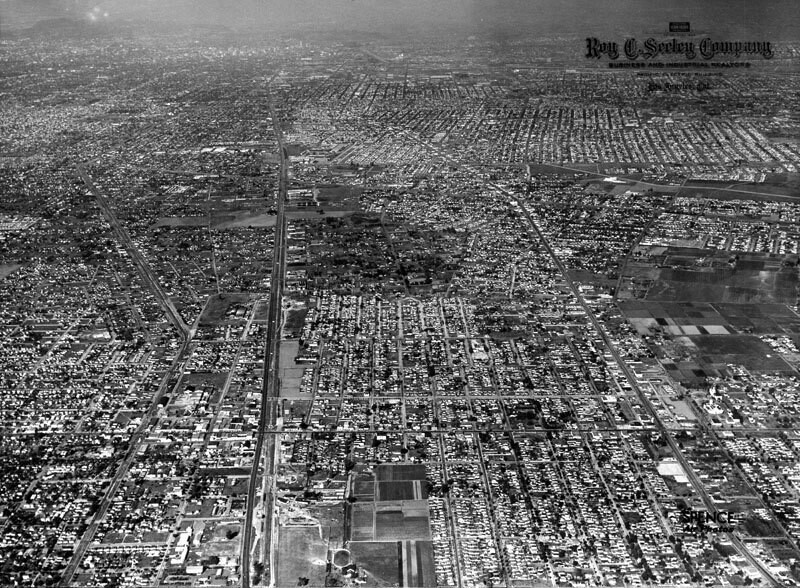
City of Compton, aerial view
1946
POPULAR
1 0
 United States > California > Los Angeles County > Compton
An aerial view of the City of Compton, looking north of Compton Boulevard. Long Beach Boulevard is at right, and Alameda is at left. Photograph taken January 6, 1946.
Comments (0)
Register or login to comment and contribute to the community


