Via della Conciliazione
1910
0 0
 Holy See (Vatican City State) > Vatican City
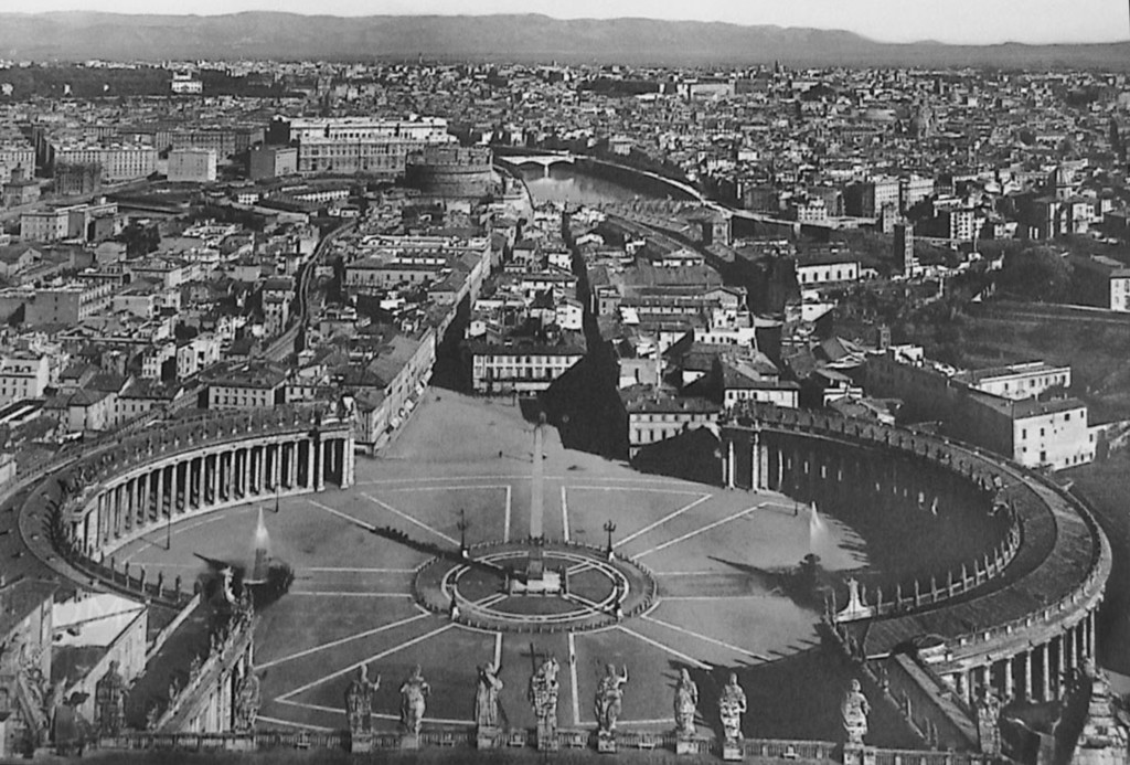
Road of the Conciliation is a street in the Rione of Borgo within Rome, Italy. Roughly 500 metres (1,600 ft) in length, it connects Saint Peter's Square to the Castel Sant'Angelo on the western bank of the Tiber River. The road was constructed between 1936 and 1950, and it is the primary access route to the Square. In addition to shops, it is bordered by a number of historical and religious buildings – including the Palazzo Torlonia, the Palazzo dei Penitenzieri and the Palazzo dei Convertendi, and the churches of Santa Maria in Traspontina and Santo Spirito in Sassia.
Comments (0)
Register or login to comment and contribute to the community


