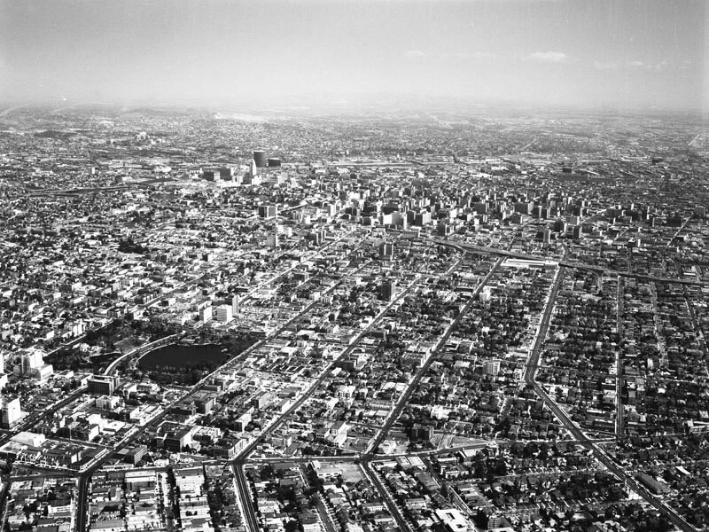
Westlake area, looking east
1957
0 0
 United States > California > Los Angeles County > Los Angeles
Aerial view of the Westlake area, looking east toward downtown. The major street closest to bottom is Hoover Street Alvarado runs horizontally from middle right to middle left the Harbor Freeway (110) is farther up from middle right to upper left. The major streets running vertically from bottom right corner to the left are: Olympic Boulevard, 9th Street, 8th Street, 7th Street, and Wilshire Boulevard, which runs through MacArthur Park - at left. Photograph dated September 19, 1957. In the mid-1800's, this area was a swampland. MacArthur Park, created in the 1880s under the name Westlake Park, was later renamed in honor of General Douglas MacArthur. By the 1890s, it was a vacation destination surrounded by luxury hotels in the early part of the 20th Century, the area became known as the Champs Elysees of Los Angeles. MacArthur Park has been designated City of Los Angeles Historic Cultural Monument.
Comments (0)
Register or login to comment and contribute to the community


