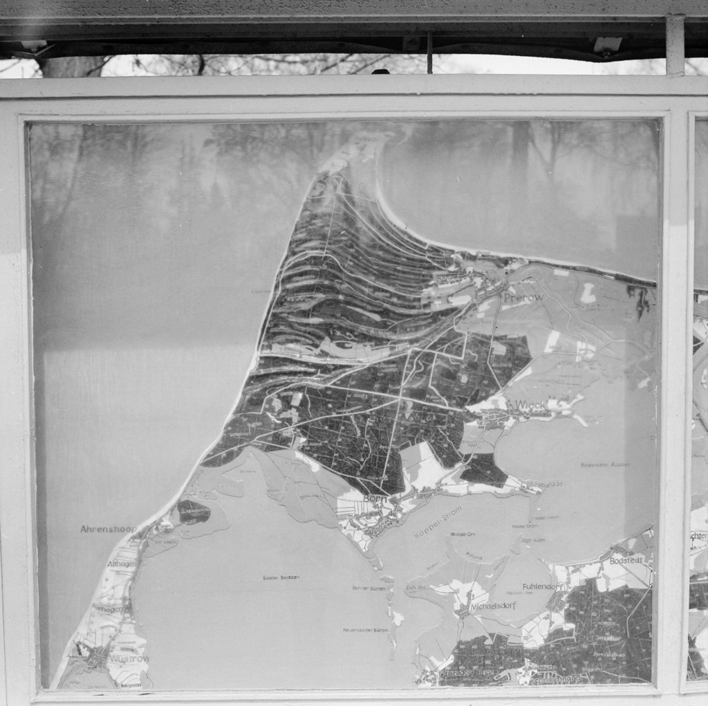
Prerow. Stand mit Geländediagramm in der Nähe des Campingplatzes
1972
0 0
 Germany > Mecklenburg-Vorpommern > Vorpommern-Rügen > Born a. Darß
Prerow. Stand mit Geländediagramm in der Nähe des Campingplatzes, 1972
Comments (0)
Register or login to comment and contribute to the community


