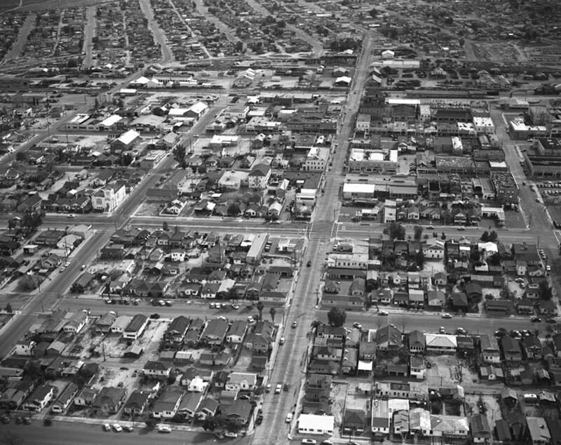
Looking south from San Emidio Street
1955
1 0
 United States > California > Kern County > Taft
Aerial view of Taft, California. Identifiable streets are (vertically, from right to left) 5th Street (extreme right) 4th Street (middle) 3rd Street (left corner) and 2nd Street (extreme left) and (horizontally, bottom to top) San Emidio Street (extreme bottom) Lucard Street (lower middle) Kern Street (middle) North Street (middle) Center Street (middle) Main Street (upper photo). Photograph dated March 5, 1955.
Comments (0)
Register or login to comment and contribute to the community


