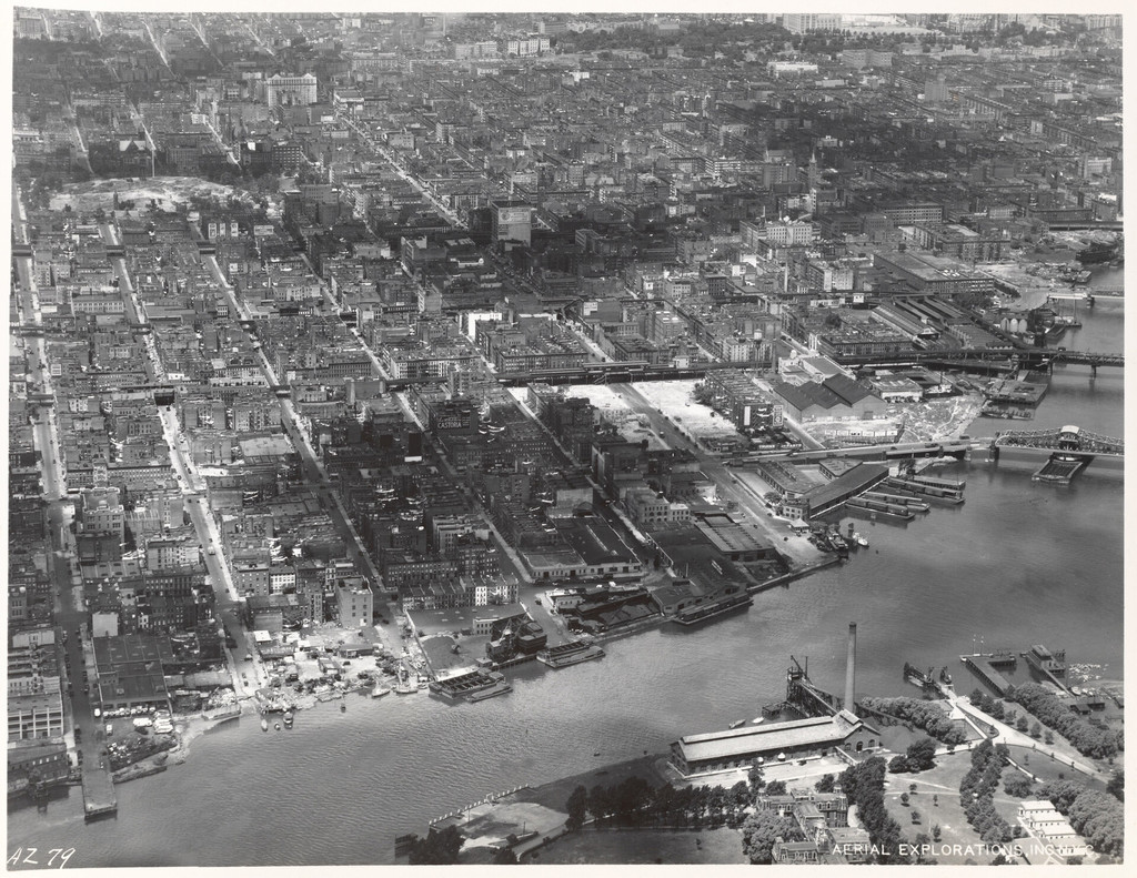
Aerial view of East Harlem and surrounding areas
1934
0 0
 United States > New York > Manhattan Community Board 11
East Shoreline of Manhattan 90th Street to 125th Street [Aerial view of East Harlem and surrounding areas.]
Comments (0)
Register or login to comment and contribute to the community


