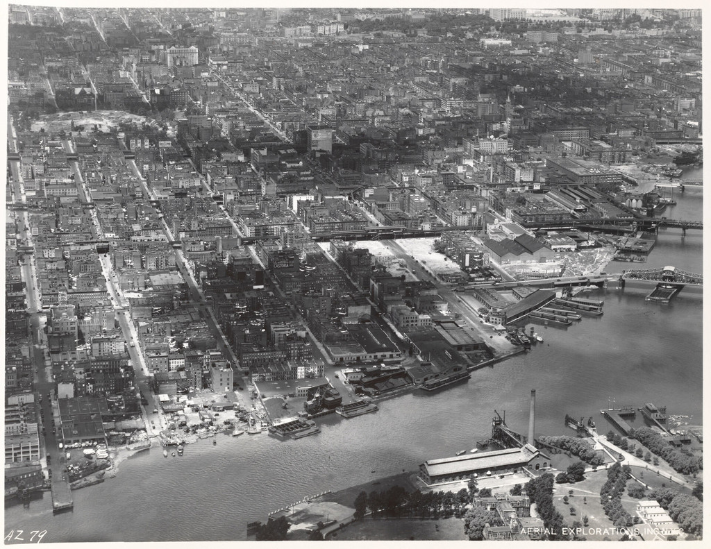
Aerial view of East Harlem and surrounding areas
1934
0 0
 Estados Unidos > New York > Manhattan Community Board 11
East Shoreline of Manhattan 90th Street to 125th Street [Aerial view of East Harlem and surrounding areas.]
Comentarios (0)
Regístrate o loguéate para poder comentar y aportar tu granito de arena


Fotos cercanas


Imagen utilizada mediante las condiciones "Fair Use"