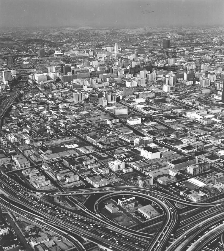
Downtown aerial

1965

Downtown aerial

0 0 

États-Unis États-Unis > California > Los Angeles County > Los Angeles
Aerial view of the Civic Center, dated June 17, 1965. View is toward the north, with the interchange between the Harbor and Santa Monica freeways in the foreground.
Commentaires (0)


S'inscrire ou connexion commenter et contribuer à la communauté 

avatar

emmmma 
746 clichés

Bellflower stationPup cafeView of the Potomac River taken from the Madeira School groundsRailfan special on the West Side freight line at the Nabisco building on 10th AvenueApple Valley Inn


Photos des environs

Georgia Street Receiving HospitalOtsego ApartmentsOtsego ApartmentsRoger Young Center's Tabard Inn exteriorMansion Moves Out Ahead of Wrecker's BallConvention Center expansion projectFigueroa Street at Venice BoulevardDowntown from freeway interchangeDowntown from the Patriotic HallPatriotic Hall

Photo publiée sur
 25/10/2019 02:19


© Security Pacific National Bank
Tous droits réservés

Image utilisée dans les conditions de "Fair Use


Vieilles photos de Los Angeles,Photographies anciennes de Los Angeles,Vieilles images de Los Angeles,Vieux clichés de Los Angeles,Anciennes vues panoramiques de Los Angeles,Anciennes gravures de Los Angeles