Aerial view of Chelsea Creek and Lots Road power station area

1958

Aerial view of Chelsea Creek and Lots Road power station area

0 1 

Royaume-Uni Royaume-Uni > England > London
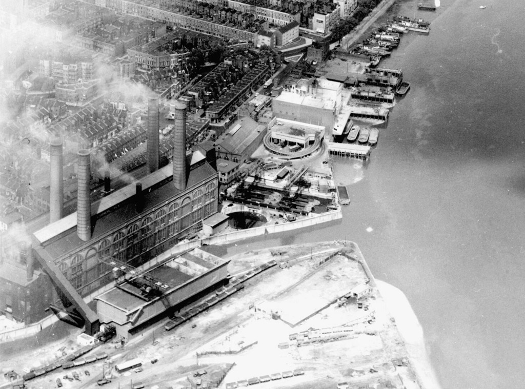
Aerial view of Chelsea Creek and Lots Road power station area. United Kingdom, England, London, Hammersmith and Fulham, 1958
Commentaires (2)

avatar

aminamina 10/02/2020 01:25

Put some more on!

avatar

bernard_killer  15/11/2020 10:38

Inspirational


S'inscrire ou connexion commenter et contribuer à la communauté 

avatar

harmony_special
355 clichés

Balgay Hill, Dundee : the White Lady’s BridgeDundee Corporation Transport buses at the Shore Terrace Corporation bus terminalSeacox lodge, Flimwell. Hawkhurst. East SussexThe General Assembly Hall of the Free Church, during constructionPond in Maxwell Park


Photos des environs

Aerial view of Chelsea - Battersea bridge areaAerial veiw of Chelsea with Lots Road Power Station“Bomb magnets”. Fulham and Lots Road power stationsOn Oakbury Road. View to Fulham Power Station in the background. LondonSemi-abandoned area between West London Line and Lots RoadView of Worlds End Estate from Battersea Railway BridgeView of St Mary’s Church across Thames from Battersea Railway BridgeView towards BT Tower from Battersea Railway BridgeWest London line and Gas works. View from Battersea Railway BridgeView of Chelsea from the southern side of Battersea Railway Bridge

Photo publiée sur
 05/04/2019 08:04


© Inconnu
Tous droits réservés

Image utilisée dans les conditions de "Fair Use


Vieilles photos de London,Photographies anciennes de London,Vieilles images de London,Vieux clichés de London,Anciennes vues panoramiques de London,Anciennes gravures de London