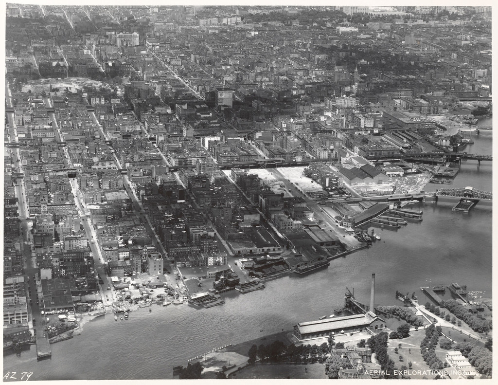
Aerial view of East Harlem and surrounding areas
1934
0 0
 États-Unis > New York > Manhattan Community Board 11
East Shoreline of Manhattan 90th Street to 125th Street [Aerial view of East Harlem and surrounding areas.]
Commentaires (0)
S'inscrire ou connexion commenter et contribuer à la communauté


Photos des environs


Image utilisée dans les conditions de "Fair Use