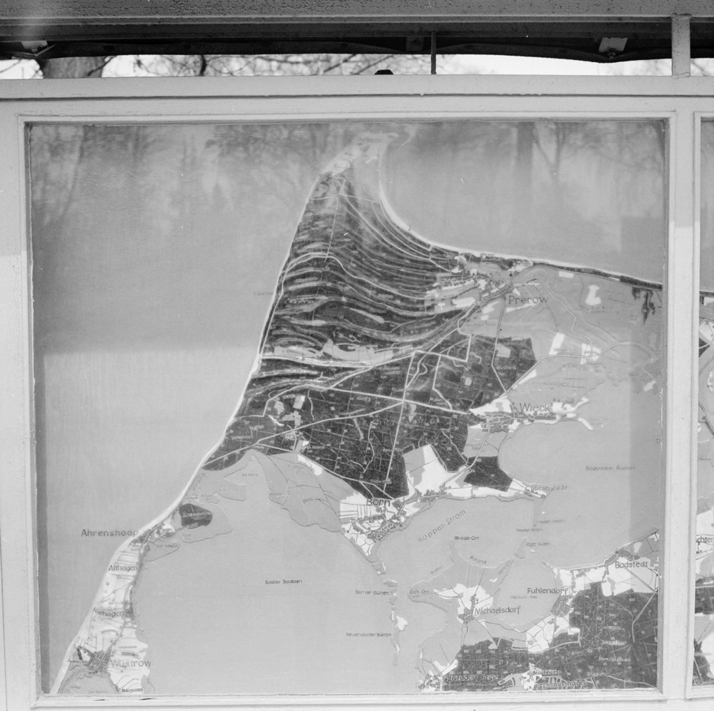
Prerow. Stand mit Geländediagramm in der Nähe des Campingplatzes
1972
0 0
 Germania > Mecklenburg-Vorpommern > Vorpommern-Rügen > Born a. Darß
Prerow. Stand mit Geländediagramm in der Nähe des Campingplatzes, 1972
Commenti (0)
Registrati ovvero accesso commentare e contribuire alla comunità


Foto nelle vicinanze


Immagine utilizzata in condizioni di "Fair Use".