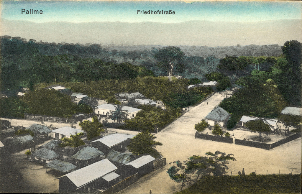
An aerial view of Palime (Kpalime) streets and houses
1920's
0 0
 Andare > Plateaux Region > Kpalimé
Kpalime, Togo, ca. 1920-1940Palime- Friedhofstrabe" Palime [Kpalime] An aerial view of Palime streets and houses with the mountains in the distance. The back of the postcard is blank and contains information about the mission agency: "Verlag der Kathol, Mission, Lome
Commenti (0)
Registrati ovvero accesso commentare e contribuire alla comunità


Foto nelle vicinanze


Immagine utilizzata in condizioni di "Fair Use".