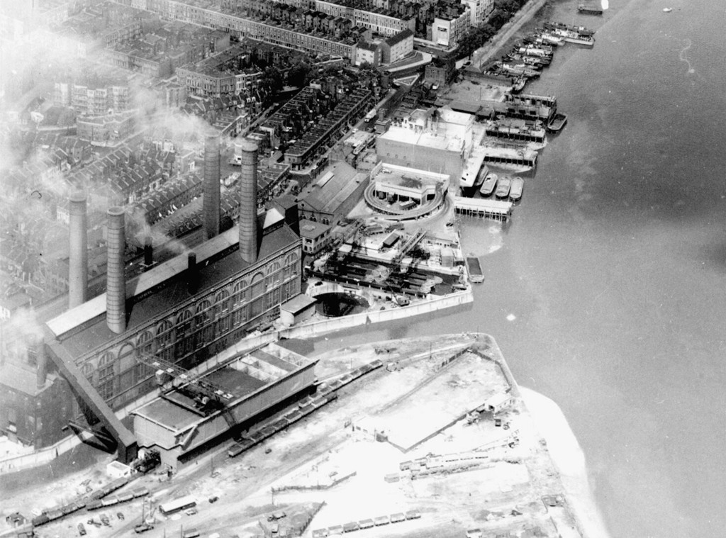
Aerial view of Chelsea Creek and Lots Road power station area
1958
0 1
 Regno Unito > England > London
Aerial view of Chelsea Creek and Lots Road power station area. United Kingdom, England, London, Hammersmith and Fulham, 1958
Registrati ovvero accesso commentare e contribuire alla comunità


Foto nelle vicinanze


Immagine utilizzata in condizioni di "Fair Use".
aminamina 10/02/2020 01:25
Put some more on!
bernard_killer 15/11/2020 10:38
Inspirational