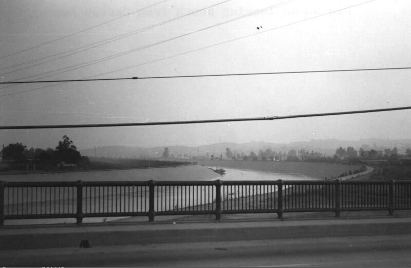
Rio Hondo, looking south
1967
0 0
 アメリカ > California > Los Angeles County > Montebello
Overlooking the Rio Hondo, looking south from Garvey Avenue. The Rio Hondo is a 20 mile tributary of the Los Angeles River, which passes through several cities in Los Angeles County. As seen here, most of the river flows in a concrete-lined channel to serve a flood control function, but in two places the river does not flow over conrete, the Peck Road Water Conservation Park and the Whittier Narrows Recreation Area. Photo dated: September, 1967.
注釈 (0)


