10th Street, looking west

1955

10th Street, looking west

0 0 

アメリカ アメリカ > California > Kern County > Ford City
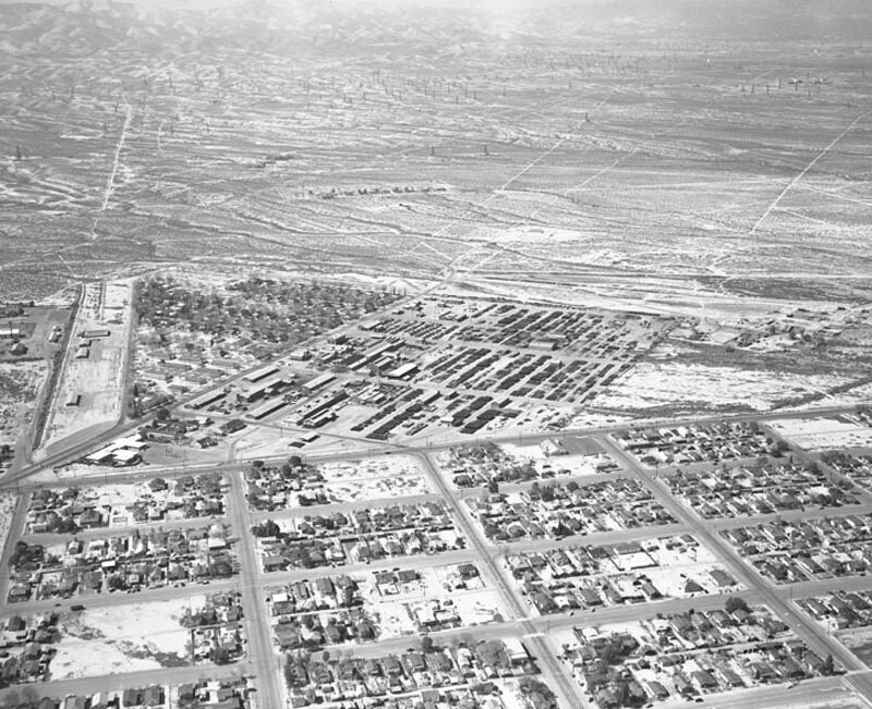
Aerial view of Taft, California view is looking west. The large road bordering idustrial area to the west is Division Road (which joins 10th to the south). Street at left is Ash Street (the area north of Ash and west of Division has been completely vacant as of July 2010). Though there are numerous clusters of dwellings, there is still a lot of barren land visible. Photograph dated March 5, 1955.
注釈 (0)


登録 または ログインする コメントし、社会に貢献する 

avatar

nathan70 
1147 写真

193rd Street and Audubon Avenue. George Washington High SchoolSanta Monica AirportC.K.G. Billings EstateWest 106th Street. Home for Aged and Infirm Hebrews.Fifth Ave. Hospital, 5th Avenue and 105th Street


近くの写真

10th Street, looking northTaft Union High School, looking westTaft Union High School, looking northwestSafeway Stores Inc., looking northwest10th Street, looking northDowntown TaftLooking south from San Emidio Street10th Street, looking southSupply Row and Main Street, looking southeastSupply Row, looking southeast

写真上に公開
 15/12/2019 04:20


© Howard D. Kelly
全著作権所有

「公正使用」条件下で使用した画像


Ford Cityの古写真,Ford Cityの古写真,Ford Cityの古いイメージ,Ford Cityの古いスナップショット,Ford Cityのオールドパノラマの景色,Ford Cityのオールドプリント