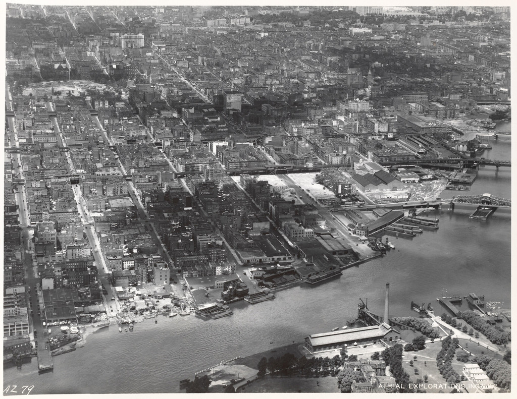
Aerial view of East Harlem and surrounding areas
1934
0 0
 Uruguay > New York > Manhattan Community Board 11
East Shoreline of Manhattan 90th Street to 125th Street [Aerial view of East Harlem and surrounding areas.]
Reacties (0)
Registreren of inloggen om commentaar te geven en bij te dragen aan de gemeenschap


Nabijgelegen foto's


Beeld gebruikt onder "Fair Use" voorwaarden