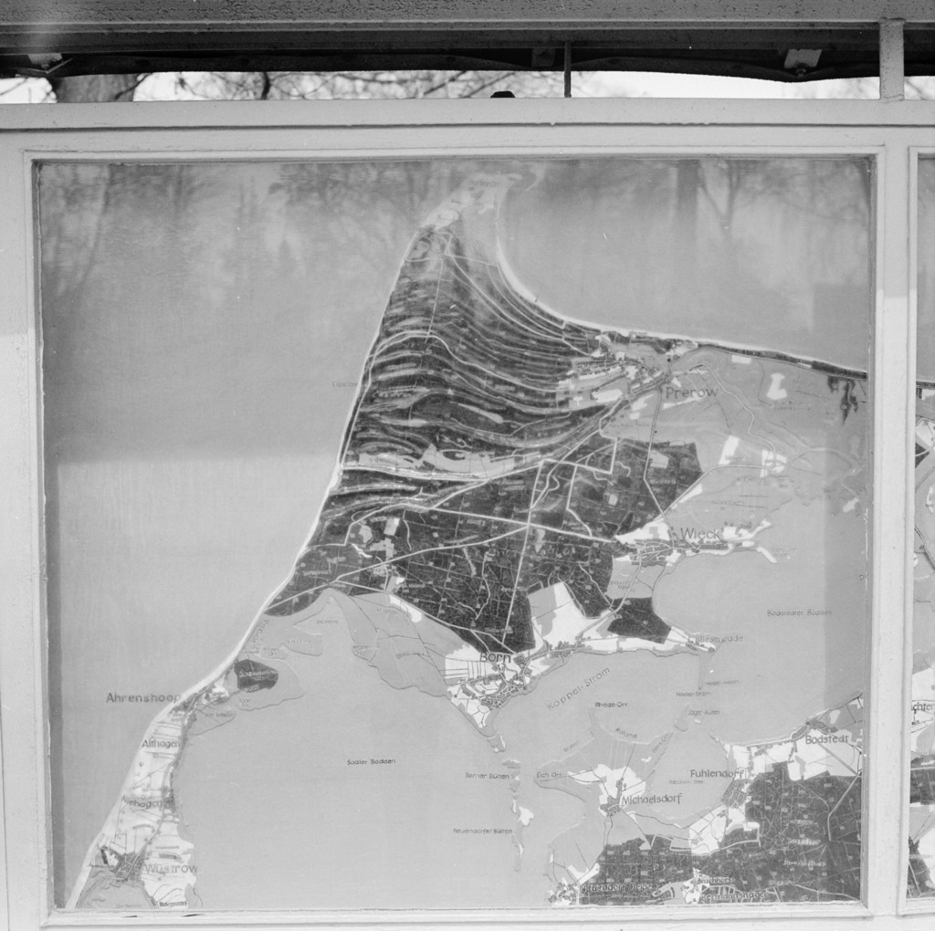
Prerow. Stand mit Geländediagramm in der Nähe des Campingplatzes
1972
0 0
 Germany > Mecklenburg-Vorpommern > Vorpommern-Rügen > Born a. Darß
Prerow. Stand mit Geländediagramm in der Nähe des Campingplatzes, 1972
Comentarios (0)
Regístrate o loguéate para poder comentar y aportar tu granito de arena


Fotos cercanas


Imagen utilizada mediante las condiciones "Fair Use"