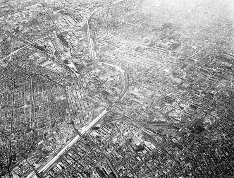
Central Manufacturing District, looking southeast
1956
0 0
 United States > California > Los Angeles County > Los Angeles
Aerial view of the Central Manufacturing District, located within the cities of Commerce, Bell, and Vernon view looking southeast toward Commerce. Photograph was taken from approximately 11,000 feet some identifiable areas include: the Los Angeles River, curving from bottom left corner toward top middle a section of the Long Beach (710) Freeway is at upper left (two horizontal white lines) numerous Atchison Topeka & Santa Fe rail tracks slightly vertically along left Bandini Boulevard and Washington Boulevard, vertically on the left Santa Ana (5) Freeway, bottom left curving to upper left Downey Road, diagonally lower left to upper right. Photograph dated December 1, 1956.
Comentarios (0)
Regístrate o loguéate para poder comentar y aportar tu granito de arena


Fotos cercanas


Imagen utilizada mediante las condiciones "Fair Use"