Aerial view of East Harlem and surrounding areas

1934
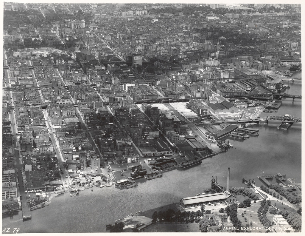
Aerial view of East Harlem and surrounding areas

0 0 

United States United States > New York > Manhattan Community Board 11
East Shoreline of Manhattan 90th Street to 125th Street [Aerial view of East Harlem and surrounding areas.]
Comentarios (0)


Regístrate o loguéate para poder comentar y aportar tu granito de arena 

avatar

vicky_p_b 
718 fotos

Aerial view of New York City, in which the World Trade Center Twin Towers is prominentA rear view of Nos. 77 to 75 Bedford Street46 Bedford Street475-479 West 165th Street126 East 126th Street


Fotos cercanas

Aerial view of East HarlemHell Gate Bridge II120th Street to 125th Street along the Harlem RiverOpening day on Triboro BridgeCars line up near the toll gate on Randall's Island at opening of the Triboro BridgeAerial view of the Upper East Side and East Harlem122nd Street to 128th Street along the Harlem RiverFour blocks along on the Harlem RiverThe Triborough Bridge or Triboro BridgeTriborough Bridge, steel girders

Foto publicada el
 16 de enero de 2018 a las 00:20


© Unknown
Todos los derechos reservados

Imagen utilizada mediante las condiciones "Fair Use"


Old photos of Manhattan Community Board 11,Old photographs of Manhattan Community Board 11,Old images of Manhattan Community Board 11,Old snapshots of Manhattan Community Board 11,Old panoramic views of Manhattan Community Board 11,Old prints of Manhattan Community Board 11