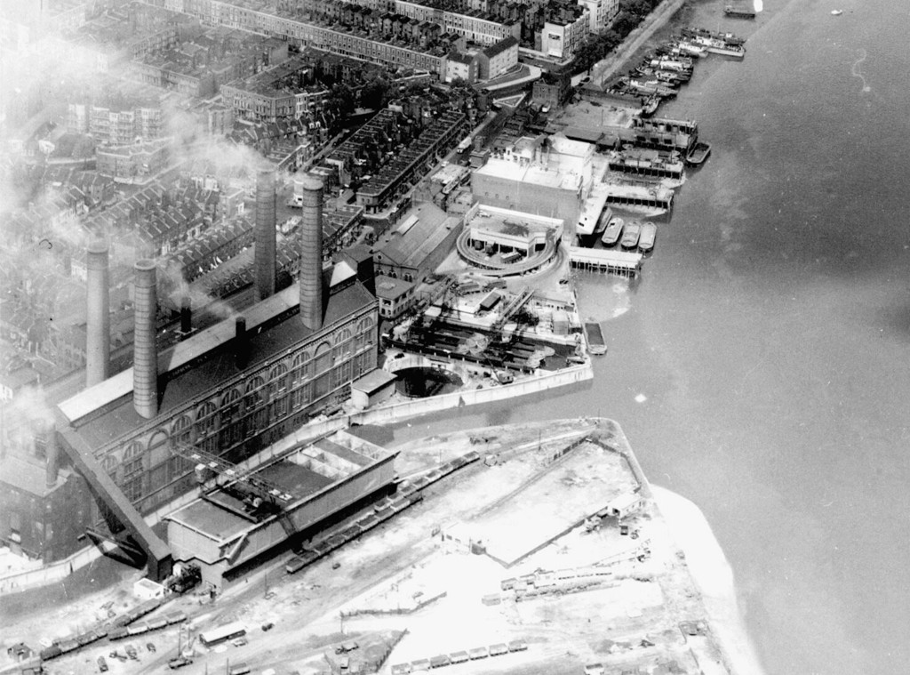
Aerial view of Chelsea Creek and Lots Road power station area
1958
0 1
 Zjednoczone Królestwo > England > London
Aerial view of Chelsea Creek and Lots Road power station area. United Kingdom, England, London, Hammersmith and Fulham, 1958
Zarejestruj się na lub zaloguj się aby komentować i przyczyniać się do rozwoju społeczności


Zdjęcia w pobliżu


Zdjęcie użyte na warunkach "Fair Use".
aminamina 10/02/2020 01:25
Put some more on!
bernard_killer 15/11/2020 10:38
Inspirational