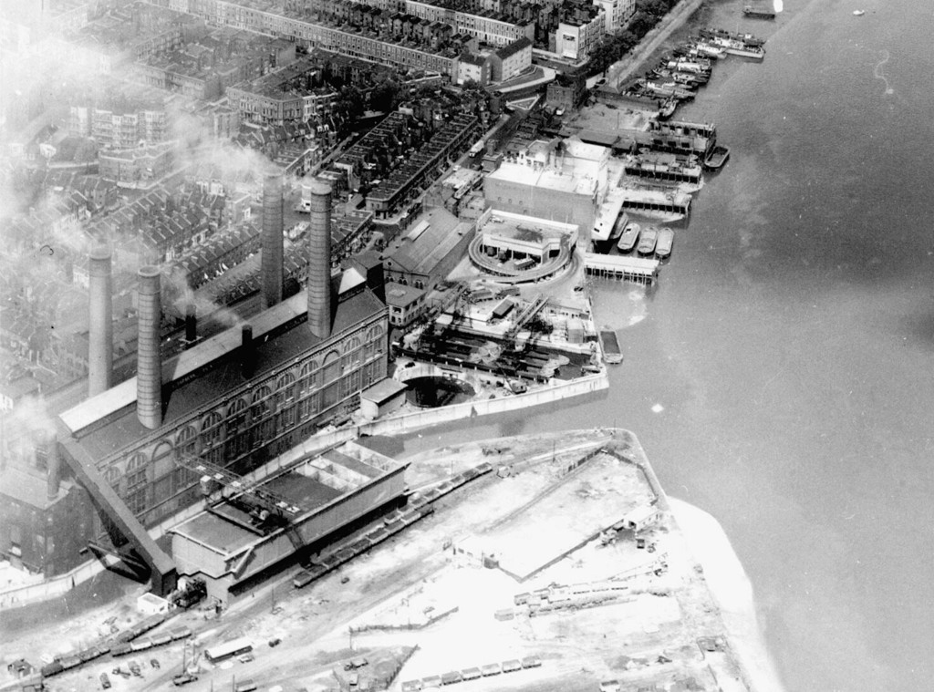
Aerial view of Chelsea Creek and Lots Road power station area
1958
0 1
 Reino Unido > England > London
Aerial view of Chelsea Creek and Lots Road power station area. United Kingdom, England, London, Hammersmith and Fulham, 1958


Fotografias nas proximidades


Imagem utilizada nas condições de "Fair Use
aminamina 10/02/2020 01:25
Put some more on!
bernard_killer 15/11/2020 10:38
Inspirational