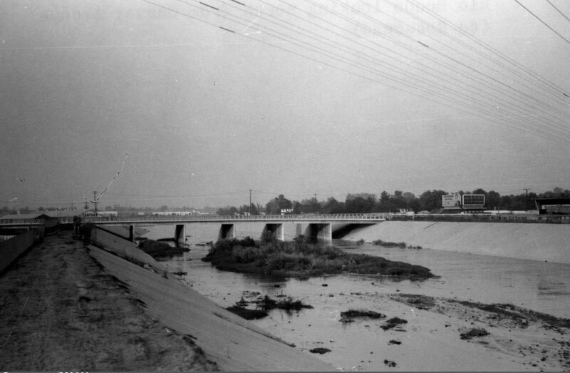
Rio Hondo channel
1967
ПОПОЛЬЗОВАТЕЛЬ
0 0
 Соединенные Штаты > California > Los Angeles County > Montebello
Overlooking the Rio Hondo, looking north from Garvey Avenue towards Rosemead. The Rio Hondo is a 20 mile tributary of the Los Angeles River, which passes through several cities in Los Angeles County. As seen here, most of the river flows in a concrete-lined channel to serve a flood control function, but in two places the river does not flow over conrete, the Peck Road Water Conservation Park and the Whittier Narrows Recreation Area. Photo dated: September, 1967.
Комментарии (0)
Зарегистрироваться или логин комментировать и вносить свой вклад в жизнь общества


Фотографии вблизи


Изображение, используемое в условиях "Справедливого использования