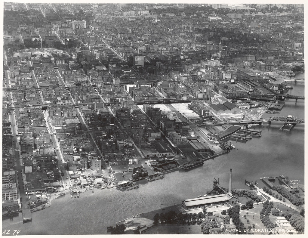
Aerial view of East Harlem and surrounding areas
1934
0 0
 Соединенные Штаты > New York > Manhattan Community Board 11
East Shoreline of Manhattan 90th Street to 125th Street [Aerial view of East Harlem and surrounding areas.]
Комментарии (0)
Зарегистрироваться или логин комментировать и вносить свой вклад в жизнь общества


Фотографии вблизи


Изображение, используемое в условиях "Справедливого использования