Stamford brook corner
1918
POPULÆR
5 4
 Det Forenede Kongerige > England > Westminster
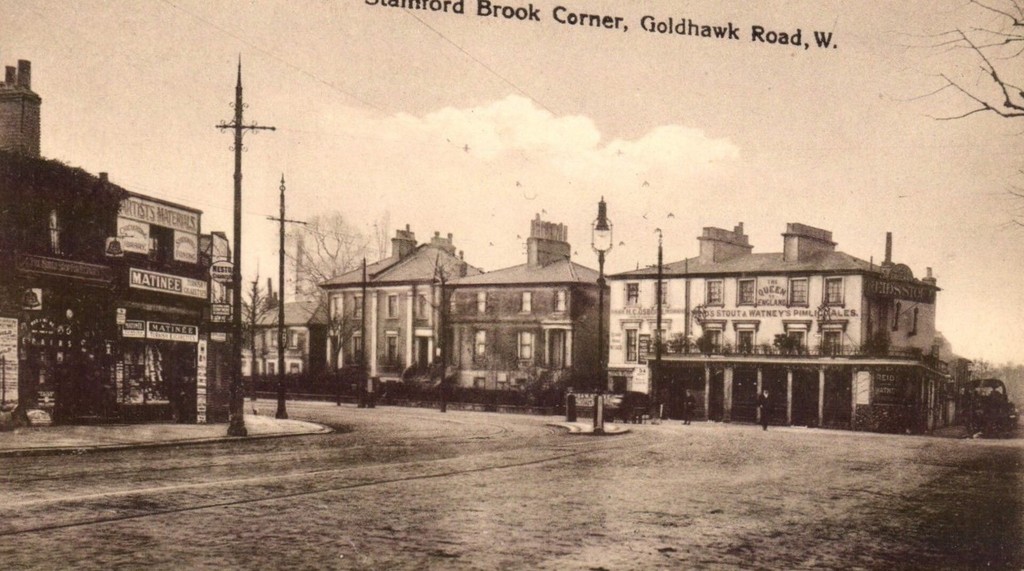
The name may be a corruption of 'stoney ford' or 'sandy ford' by which it was crossed by King Street. Stamford Brook has given its name to the surrounding area between Hammersmith and Chiswick and to local London Underground station, Stamford Brook. The county of London formed in 1889 was bounded by the westernmost course of Stamford Brook, forming the boundary separating London Boroughs of Hammersmith and Acton in the new county from the Chiswick and Brentford Urban Districts in Middlesex. By 1900, all six strands of the brook and drainage dykes had been covered over and formed the most useful depressions available in which to site the neighbourhood's sewers, many diversionary surface water drains had been created closer to the surface to drain the catchment basin.
Tilmeld dig eller login for at kommentere og bidrage til fællesskabet


Nærliggende billeder


Billedet anvendes under "Fair Use"-betingelser
adrian838 12/10/2019 06:44
Gran foto, sin duda