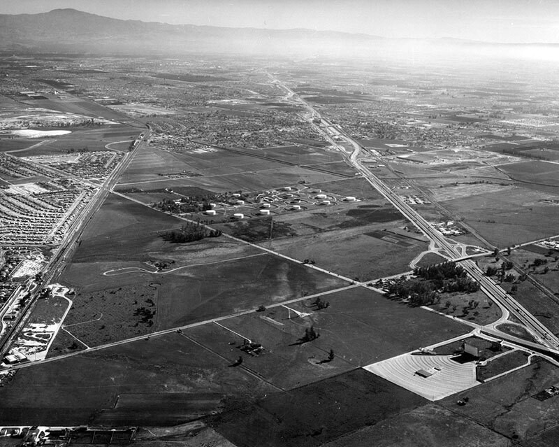
La Mirada, looking southeast
1957
0 0
 United States > California > Orange County > La Palma
Aerial view of the Central Manufacturing District La Mirada area (left), located within the cities of Commerce, Bell, and Vernon view is looking southeast and includes Santa Fe Springs. Alondra Boulevard is slightly diagonally, lower right to middle left the Santa Ana (5) Freeway is diagonally, lower right to upper left Valley View Avenue is diagonally, bottom left corner to middle right the Santa Fe Railroad is vertically along the left, and the La Mirada Drive-In Theater is seen on the lower right. Photograph dated December 3, 1957.
Comments (0)
Register or login to comment and contribute to the community


