Walnut Grove Avenue
1955
1 0
 United States > California > Los Angeles County > San Gabriel
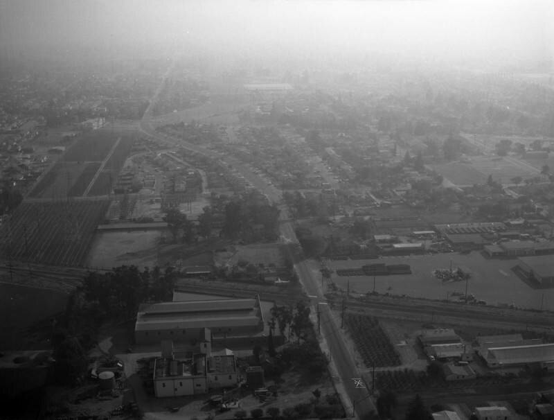
Aerial view of property in the San Gabriel Valley, bordered by Walnut Grove Avenue (vertically on the right, curving toward top of photo), the Southern Pacific RR tracks (horizontally at the forefront), and Grand Avenue (horizontally across the middle). View is looking south the actual city is Rosemead. Photographed for Dwight Mathery on October 30, 1955.
Comments (0)
Register or login to comment and contribute to the community


