Glendale aerial

1927

Glendale aerial

0 0 

Uruguay Uruguay > California > Los Angeles County > Glendale
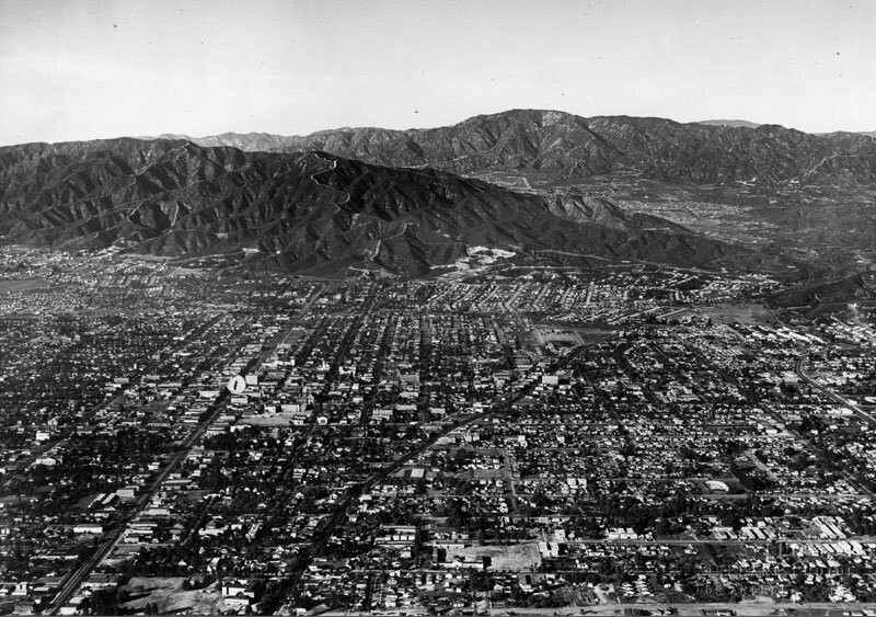
Aerial view of north Glendale looking toward the Verdugo Mountains. Glendale Ave. curves to the right towards Verdugo Canyon. On the left of the photo, Brand Blvd. runs straight to the feet of the mountains. The San Gabriel Mountains and the La Canada, La Crescenta area are in the background. Photo dated: Nov. 15, 1927.
Reacties (0)


Registreren of inloggen om commentaar te geven en bij te dragen aan de gemeenschap 

avatar

wyatt 
872 foto's

124th St., east from Broadway, New York.B.S. Moss Hamilton TheatreArial view to Gateway Shopping Center135th St., west from Broadway, New York.West Carson aerial


Nabijgelegen foto's

Glendale aerialTower of LegendsGlendale panoramaTower of LegendsCentral Methodist Epsicopal ChurchFirst Church of Christ Scientist interiorGlendale aerialBrand Boulevard and Colorado StreetFirst Church of Christ Scientist in GlendaleTropico Grammar School

Foto gepubliceerd op
 18/03/2020 02:55


© Spence Air Photos
Alle rechten voorbehouden

Beeld gebruikt onder "Fair Use" voorwaarden


Oude foto's van Glendale,Oude foto's van Glendale,Oude beelden van Glendale,Oude kiekjes van Glendale,Oud panoramisch uitzicht op Glendale,Oude prenten van Glendale