Earle Avenue
1955
0 0
 Uruguay > California > Los Angeles County > Rosemead
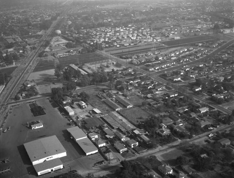
Aerial view of property in the San Gabriel Valley, bordered by Walnut Grove Avenue on the west (the street running horizontally along the middle, curving toward the top right), and the Southern Pacific RR tracks on the northeast, which are scheduled for re-zoning. View is looking southeast, with Grand Avenue (running diagonally from lower right to upper left) the actual city is Rosemead. Photographed for Dwight Mathery on October 30, 1955.
Reacties (0)
Registreren of inloggen om commentaar te geven en bij te dragen aan de gemeenschap


Nabijgelegen foto's


Beeld gebruikt onder "Fair Use" voorwaarden