Riverside Drive
1937
0 0
 Uruguay > California > Los Angeles County > Los Angeles
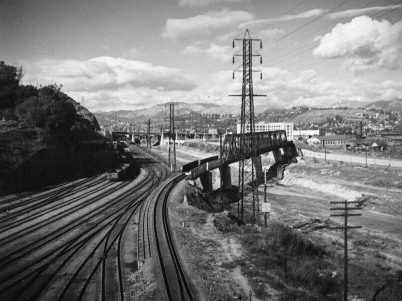
Railroads, the river and high voltage lines define this view of the hills of Elysian Park on the left and Cypress Park and what is now Elyria Canyon Park located on the southwestern slopes of Mount Washington on the right. Originally an alluvial river that ran freely across a flood plain, the Los Angeles River's 51-mile path was unstable and unpredictable with the mouth of the river moving frequently from one place to the other. In March of 1938 there was a great storm that flooded one third of the city of Los Angeles killing 115 people. Later that year, due to public outcry, the Army Corps of Engineers began the 20 year project to create the permanent concrete channel which still contains most of the of riverbed today.
Kommentarer (0)
Registrera dig på eller Logga in för att kommentera och bidra till gemenskapen


Bilder i närheten


Bilden används enligt villkoren för "Fair Use" (rättvis användning)