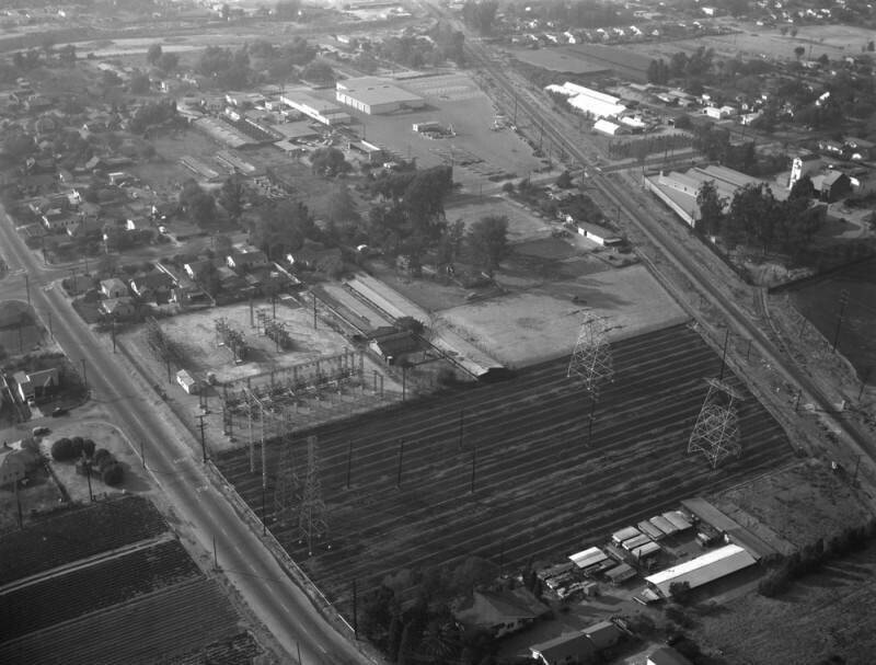
Southern Pacific Railroad, looking northwest
1955
0 0
 美国 > California > Los Angeles County > San Gabriel
Aerial view of property in the San Gabriel Valley, bordered by Walnut Grove Avenue on the west (the street running vertically along the upper middle), and the Southern Pacific RR tracks on the northeast, which are scheduled for re-zoning. View is looking west, with Grand Avenue (visible along the left) the actual city is Rosemead. Photographed for Dwight Mathery on October 30, 1955.


owen90 10/05/2023 20:14
Inspirational