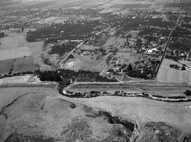
Avocado Heights, looking northeast
1955
0 0
 USA > California > Los Angeles County > Industry
Looking northeast over a residential district known as Avocado Heights. The Union Pacific Railroad and San Jose Creek run parallel to bottom just below center. Road at right is 4th Avenue road at left is 3rd Avenue. Large homes on plotted land fill the frame. Photographed for R.W. McKee on August 5, 1955. Avocado Heights is an unincorporated census-designated place in Los Angeles County with an approximate population of 15,148 (per the 2000 census). The community lies in the San Gabriel Valley, in close proximity to Puente Hills, City of Industry, the San Gabriel River, and El Monte.
Kommentarer (0)
Tilmeld dig eller login for at kommentere og bidrage til fællesskabet


Nærliggende billeder


Billedet anvendes under "Fair Use"-betingelser