Avocado Heights
1955
0 0
 United States > California > Los Angeles County > El Monte
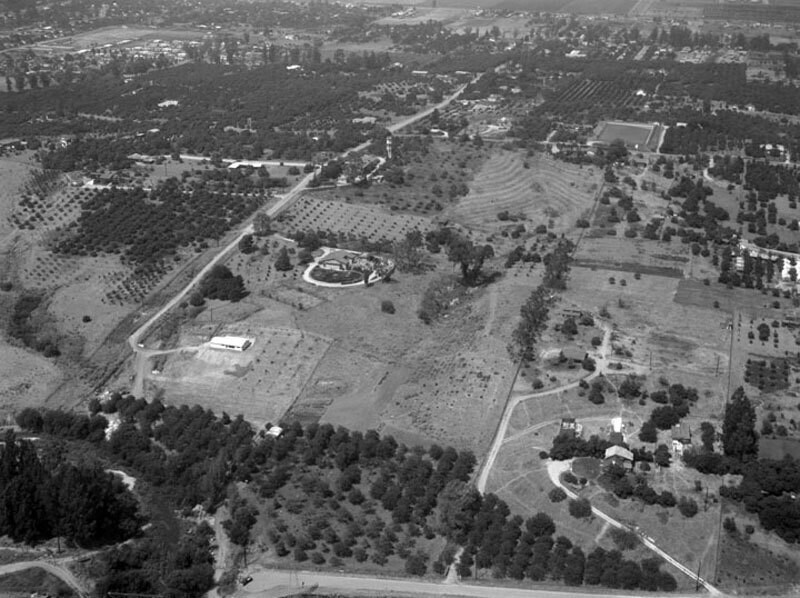
Looking north over a residential district known as Avocado Heights. The road to left of center is identified as 3rd Avenue. Large homes on plotted land fill the frame. Photographed for R.W. McKee on August 5, 1955. Avocado Heights is an unincorporated census-designated place in Los Angeles County with an approximate population of 15,148 (per the 2000 census). The community lies in the San Gabriel Valley, in close proximity to Puente Hills, City of Industry, the San Gabriel River, and El Monte.
Comments (0)
Register or login to comment and contribute to the community


